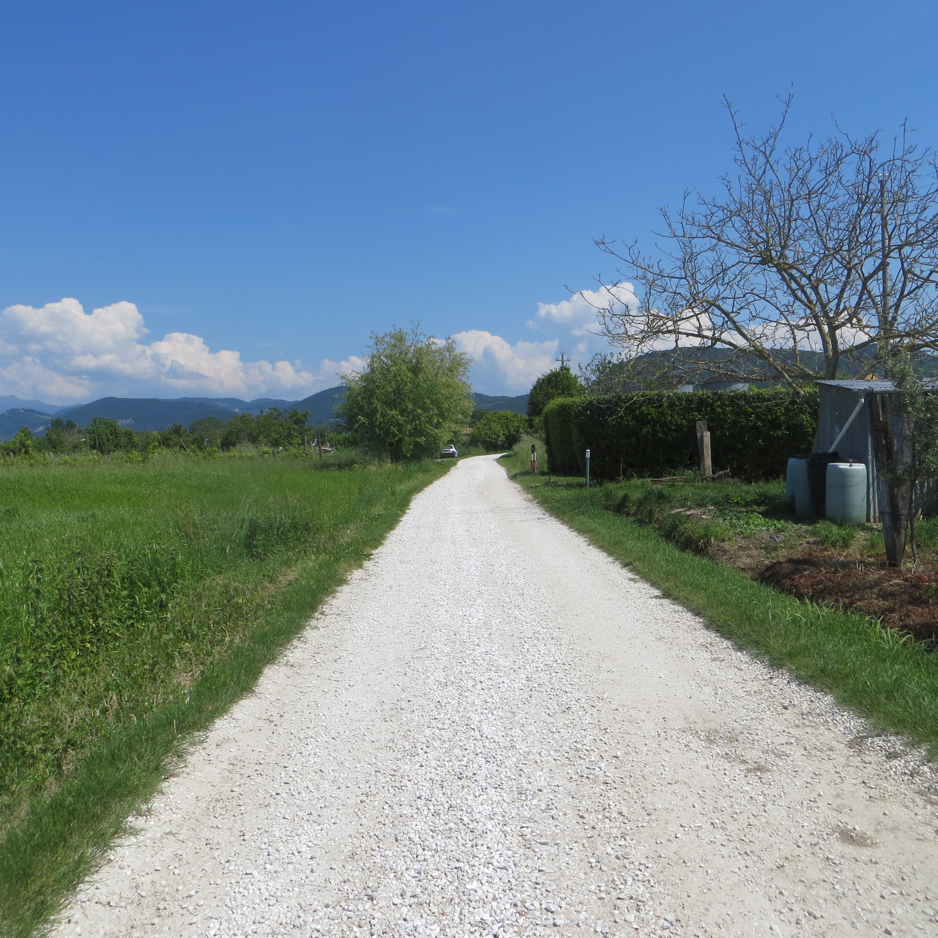
The teaching activities of the Laboratory of Ancient Topography include surveys in the territories of the Municipal Districts of San Giuliano Terme and Vecchiano, aiming at verifying on the ground the survival of the centuriallimites and identifying the traces of ancient settlements. There is an ongoing investigation of the limites (consisting of canals, ditches,and different types of roads), while over a hundred Topographic Units (sites and off-sites) mainly belonging to the Roman farmsteads scattered in the countryside have been identified.
Moreover, to test how well-founded our interpretations of ploughsoil assemblages were, we carried out surveys in some areas of San Giuliano which had already been investigated in 1986, where some farmsteads had been identified in the centurial grid, aware that “legacy data” can be a very important tool for understanding the formation processes of the ancient landscapes.
As regards the territory of Vecchiano, materials from the locality of Paduletto are being studied. It is a large settlement, identified by the Gruppo Archeologico di Vecchiano in the 1980s, in which ceramics dating from the Archaic to the Medieval Ages have been found.
A.Pala, La centuriazione del territorio pisano: applicazioni tecnologiche per una rilettura complessa, Tesi in Scienze dei Beni Culturali, Università di Pisa 2014.
M. Pardini Terre ed opere idrauliche nella pianura pisana settentrionale dall'Antichità all'Alto Medioevo
A.D’Aloia, Insediamenti, viabilità fluviali e terrestri tra Vecchiano e San Giuliano dall'età tardo antica al XIV d.C. secolo, Tesi Specializzazione in Beni Archeologici, Università di Pisa, 2016
Theses being elaborated
V.Rivano, La pianura pisana settentrionale ed il sito del Paduletto di Vecchiano dall’età arcaica al tardo-antico, Tesi Specializzazione in Beni Archeologici, Università di Pisa,
A. Magagnini, Contributo allo studio dell’ ager Pisanus Il territorio di San Giuliano e Vecchiano (surveys 2014-2017), Tesi in Scienze dei Beni Culturali, Università di Pisa
